
About 3dMB Ltd
Marcus Blatchford of 3dMB Ltd specialises in 3d modelling, mapping and creating 3d digital twins of sites on land and in the water, remote underwater photography & videography, and rigging for the TV & Film industries.
With over 14 years of diving, 6 years operating drones and 18 years rigging, Marcus has the experience as well as the knowledge.
Marcus is a HSE qualified rebreather diver, National Rigging Certificate qualified rigger and CAA accredited drone operator.
Underwater 3d Modelling & Mapping, and Remote Underwater Videography
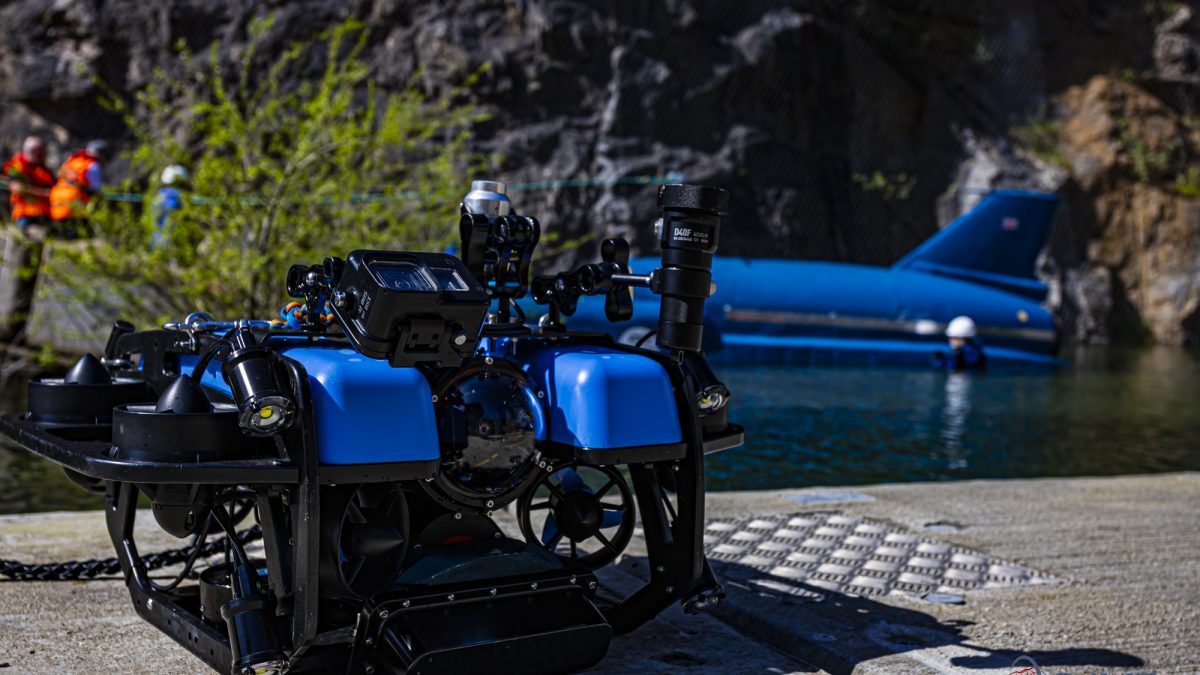
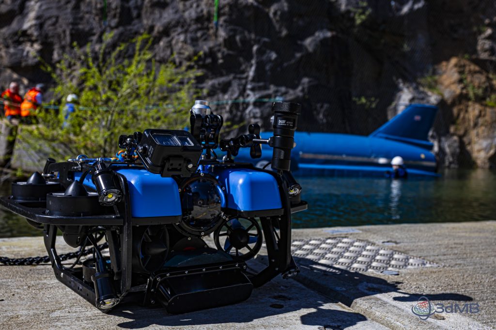
In 2024, 3dMB Ltd moved from diver based data capture to Remotely Operated Vehicle (ROV) based data capture. This has meant that we can mount a large array of sensing technology, in addition to just cameras, to capture data more efficiently without the dive team requirements as specified within the Diving at Work Regulations 1997.
Removing the diver and replacing with a ROV removes the associated risk to the data capture operators, we can work more efficiently with a small team and are not limited by decompression obligation or breathing gas supply.
Rigging
Starting out as local site crew at Glastonbury Festival, Marcus moved onto building stages for temporary events progressing forward designing rigging and running crews for high budget feature films. Competent with 3d AutoCAD, Marcus has played a key role in:
Designing and installing the lighting grids at BT Sports Studios, Stratford
Designing and installing a semi-permanent 1000m suspended catwalk and rigging system in Cardington Studios, Bedfordshire
Leading a crew erecting a bespoke semi-permanent structure to support the GoodYear blimps at the GoodYear Blimp base in Carson, California
Marcus’ film credits on IMDB
Previous & Ongoing Projects
Latest News
Something Blue in Coniston Water

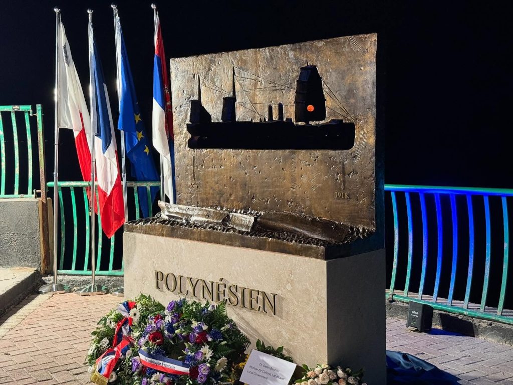
Lest we forget

Teaching the universities
